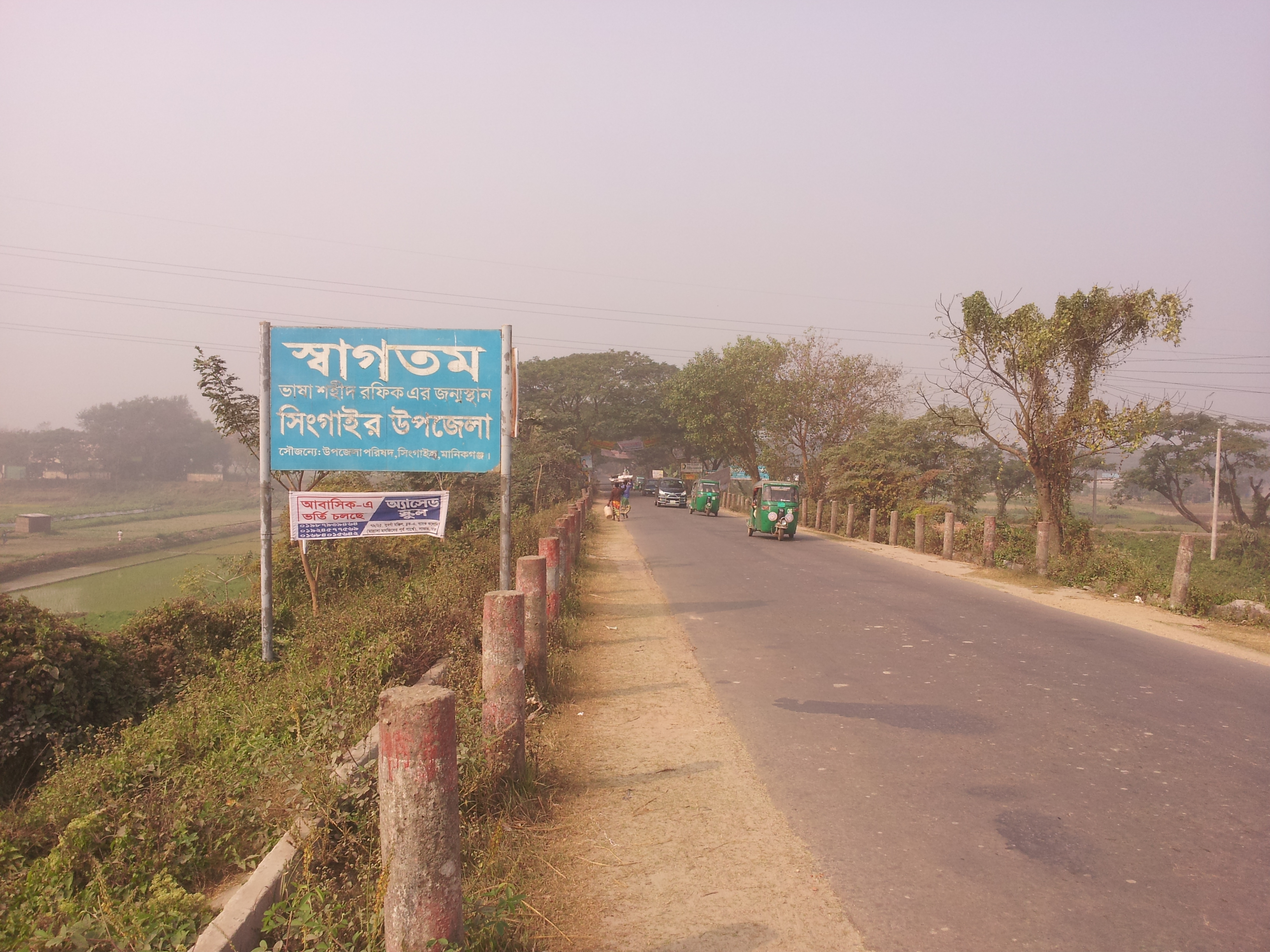
Singair Upazila on:
[Wikipedia]
[Google]
[Amazon]
Singair ( bn, সিঙ্গাইর) is an 
upazila
An ''upazila'' ( bn, উপজেলা, upôzela, lit=sub-district pronounced: ), formerly called ''thana'', is an administrative region in Bangladesh, functioning as a sub-unit of a district. It can be seen as an analogous to a county or a ...
of Manikganj District
Manikganj ( bn, মানিকগঞ্জ ) is a district in central Bangladesh. It is a part of the Dhaka Division, In 1845 AD it was at first declared as a sub-division. It was at first, under Faridpur district (Faridpur Zila) then it was in ...
in the Division of Dhaka
Dhaka ( or ; bn, ঢাকা, Ḍhākā, ), formerly known as Dacca, is the capital and largest city of Bangladesh, as well as the world's largest Bengali-speaking city. It is the eighth largest and sixth most densely populated city ...
, Bangladesh
Bangladesh (}, ), officially the People's Republic of Bangladesh, is a country in South Asia. It is the eighth-most populous country in the world, with a population exceeding 165 million people in an area of . Bangladesh is among the mos ...
.

Geography
Singair is located at . It has 44151 households and total area 217.38 km2.Demographics
As of the1991 Bangladesh census
In 1991, the Bangladesh Bureau of Statistics, conducted a national census in Bangladesh. They recorded data from all of the districts and upazilas and main cities in Bangladesh including statistical data on population size, households, sex and age ...
, Singair has a population of 461628. Males constitute 50.47% of the population, and females 49.53%. This Upazila's eighteen up population is 267789. Singair has an average literacy rate of 21.1% (7+ years), and the national average of 32.4% literate.
Administration
Singair Upazila is divided into Singair Municipality and 11union parishad
Union council ( bn, ইউনিয়ন পরিষদ, translit=iūniyan pariṣad, translit-std=IAST), also known as union parishad, rural council, rural union and simply union, is the smallest rural administrative and local government unit ...
s: Jamsha, Charigram, Singair, Dhalla, Bayra, Chandhar, Baldahara, Joymontop, Jamirta, Saista, and Talibpur. The union parishads are subdivided into 137 mauzas and 241 villages.
Singair Municipality is subdivided into 9 wards and 14 mahalla
is an Arabic word variously translated as district, quarter, ward, or "neighborhood" in many parts of the Arab world, the Balkans, Western Asia, the Indian subcontinent, and nearby nations.
History
Historically, mahallas were autonomous social ins ...
s.
Education
There are three colleges in the upazila. According to Banglapedia, Dakkhin Jamsha High School founded in 1969, Basiruddin Foundation High School (Jamsha Union), Baira High School (1949), Charigram S A Khan High School (1948),Golaidanga High School Golaidanga High School
Golaidanga High School is a secondary school located in Golaidanga village at Balodhara Union under Singair Upazila in Manikgonj District, Bangladesh
Bangladesh (}, ), officially the People's Republic of Bangladesh, ...
(1967), Jamirta SG Multilateral High School (1921), Talebpur Adarsho High school (1973), Joymontop High School Joymontop Union is a Union in Singair, Manikganj District, Bangladesh
Bangladesh (}, ), officially the People's Republic of Bangladesh, is a country in South Asia. It is the eighth-most populous country in the world, with a population ex ...
(1929), Nabagram Multilateral High School (1921), Shahrail High School (1964), Singair Pilot High School (1940), and Singair Pilot Girl's High School are notable secondary schools.
See also
*Upazilas of Bangladesh
An ''upazila'' ( bn, উপজেলা, upôzela, lit=sub-district pronounced: ), formerly called ''thana'', is an administrative region in Bangladesh, functioning as a sub-unit of a district. It can be seen as an analogous to a county or a ...
* Districts of Bangladesh
* Divisions of Bangladesh
References